Week 14: Which neighbourhoods are the greenest without their parks?
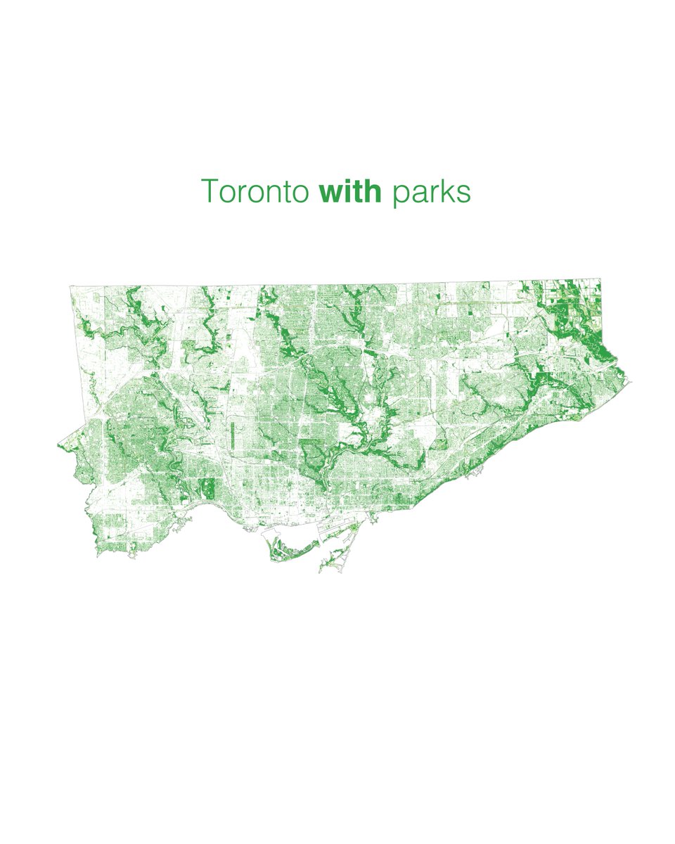
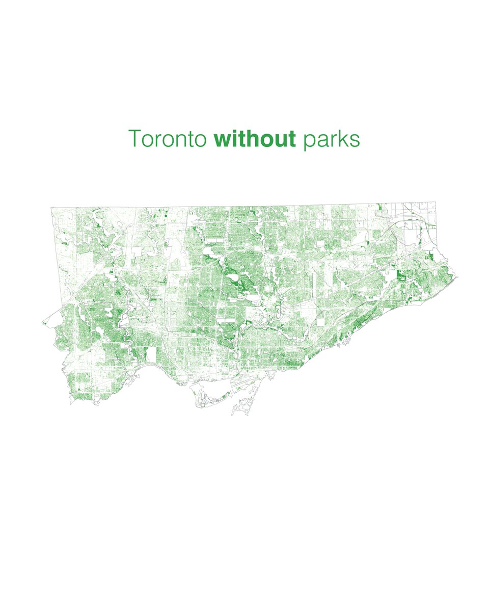
Thinking about limited park access to #FlattenTheCurve, we wanted to look at the inequality of greenery throughout the city #TorontoAtlas
Thinking about limited park access to #FlattenTheCurve, we wanted to look at the inequality of greenery throughout the city #TorontoAtlas
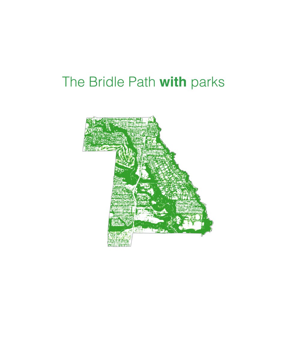
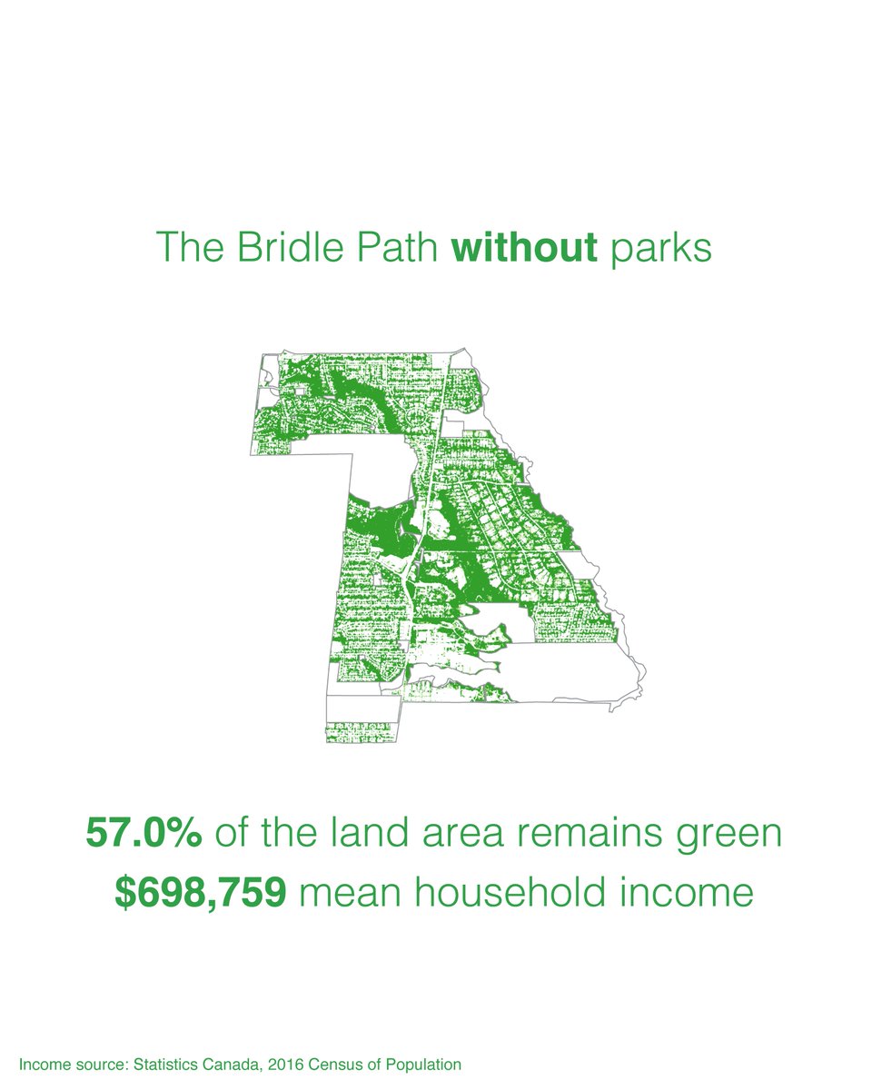
Wealthy suburban neighbourhoods seem to have lots of greenery outside of parkland because of large lots and a well-preserved tree canopy
Top 5 greenest without parks (% of land area that is green)
57.0%Bridle Path-Sunnybrook-York Mills
51.1%Rosedale-Moore Park
51.0%Kingsway South
50.2%Edenbridge-Humber Valley
47.3%Lambton Baby Point
57.0%Bridle Path-Sunnybrook-York Mills
51.1%Rosedale-Moore Park
51.0%Kingsway South
50.2%Edenbridge-Humber Valley
47.3%Lambton Baby Point
Bottom 5:
11.2%Church-Yonge Corridor
11.0%West Humber-Clairville
8.7%Bay Street Corridor
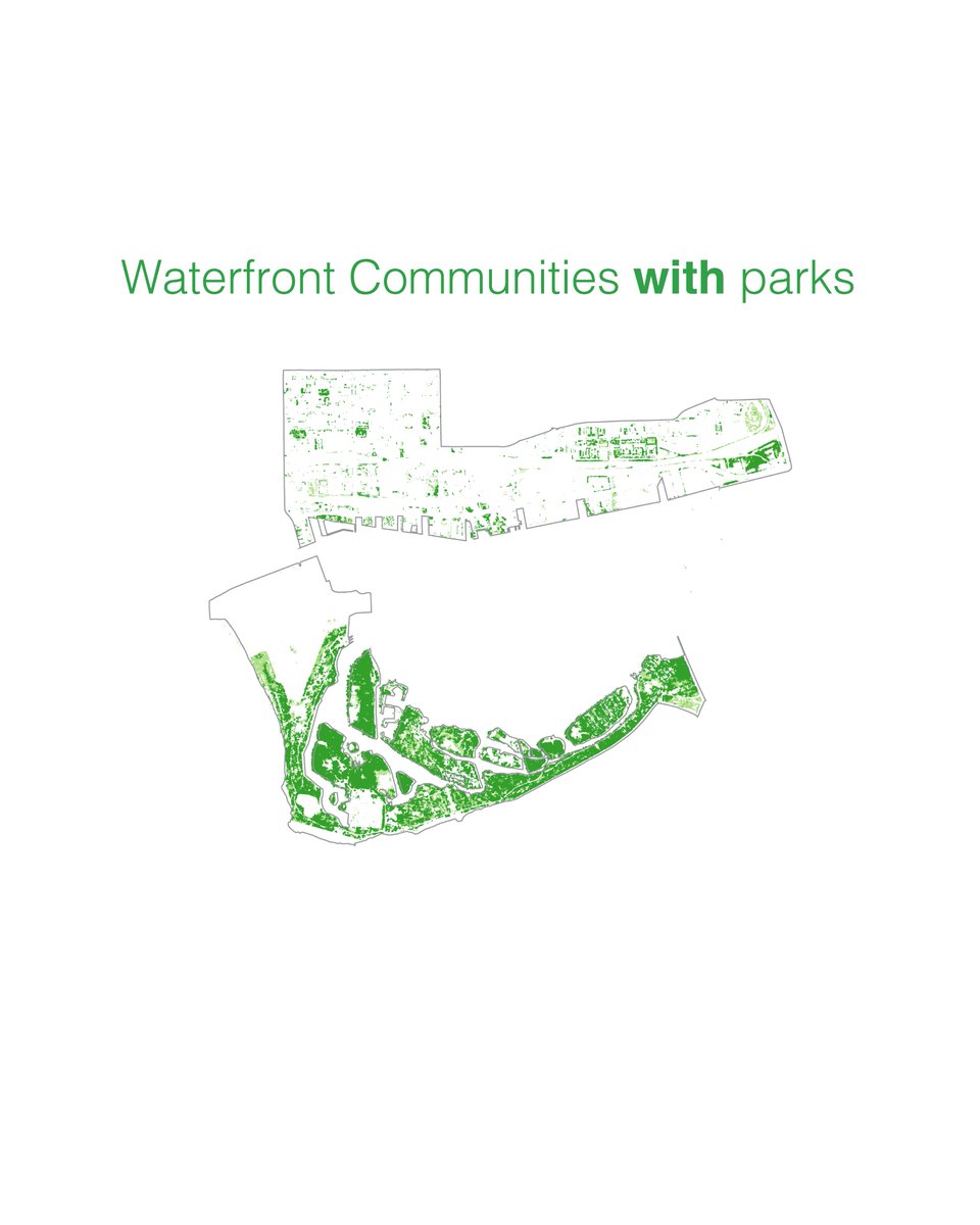
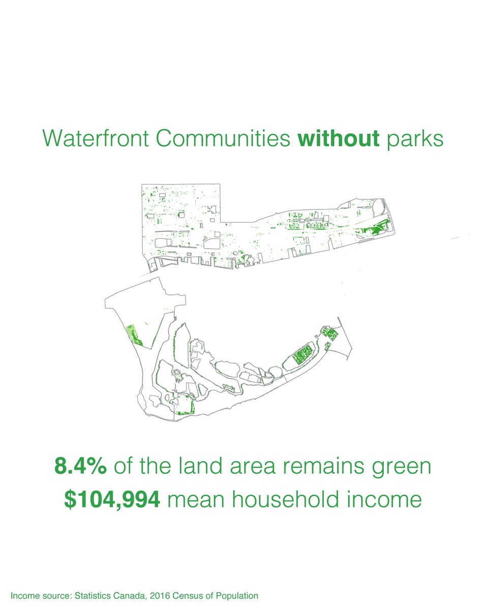
8.4%Waterfront Communities-The Island
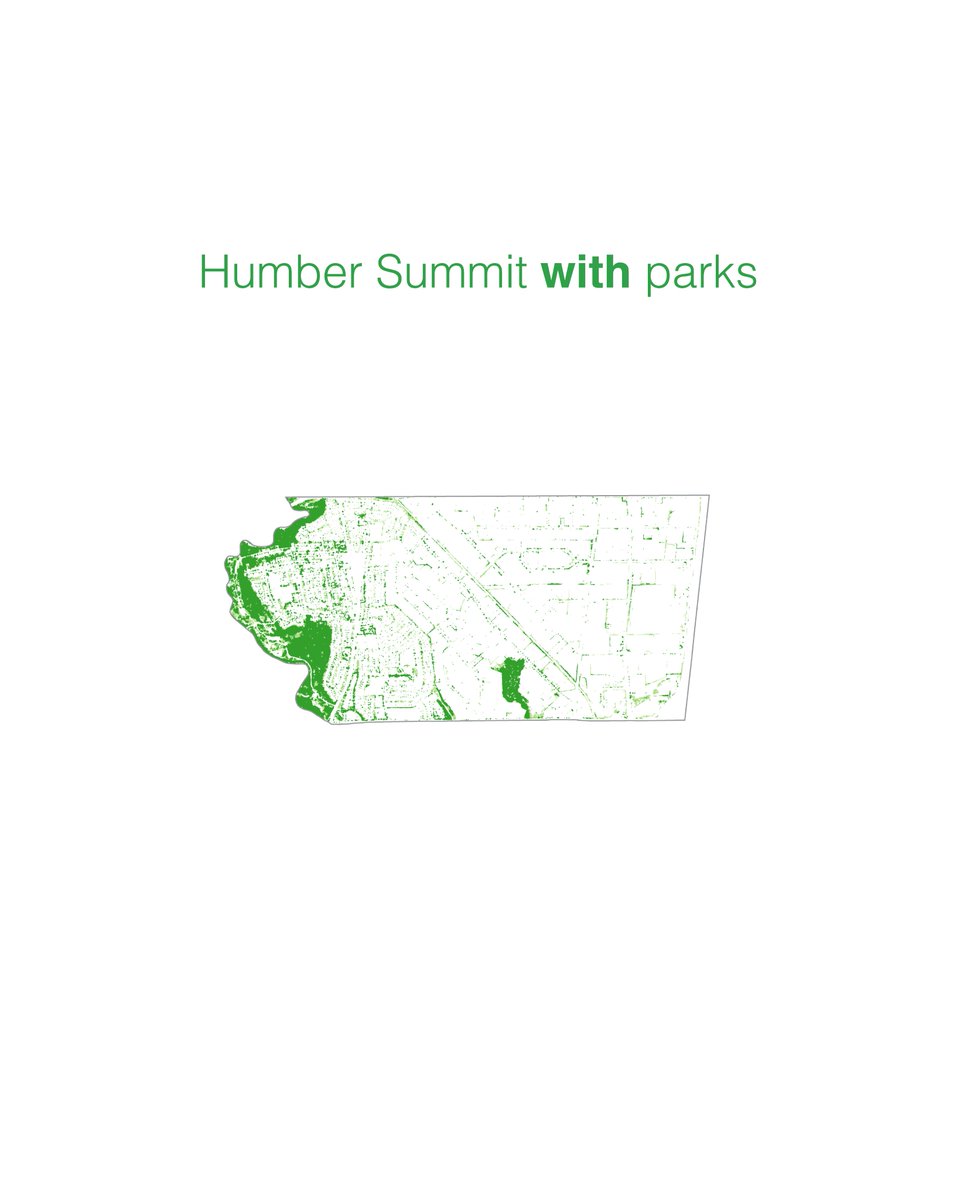
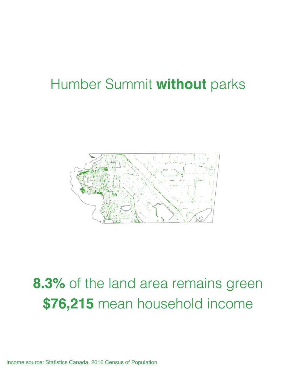
8.3%Humber Summit
11.2%Church-Yonge Corridor
11.0%West Humber-Clairville
8.7%Bay Street Corridor
8.4%Waterfront Communities-The Island
8.3%Humber Summit
We calculated % of green area by neighbourhood without parks using the city& #39;s Forest and Land Cover dataset: https://open.toronto.ca/dataset/forest-and-land-cover/">https://open.toronto.ca/dataset/f... , Park boundaries: https://open.toronto.ca/dataset/parks/ ">https://open.toronto.ca/dataset/p... , and Neighbourhood boundaries: https://open.toronto.ca/dataset/neighbourhoods/">https://open.toronto.ca/dataset/n...

 Read on Twitter